Featherweight GPS system

  • Regular price $420.00


System includes  transmitter , ground station , and battery 


Picture

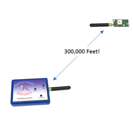
Longest Radio Range 

  • Yes, it really can communicate to space (though GPS data available to 262,467 feet).
  • No directional antenna needed.
  • Efficient link with only 50 mW output power
  • Robust margin for rocket body attenuation etc.
  • No cell service required at the range.  Just download the app over WiFi at home and you're good to go.

Hardware Features

Picture

Longest Radio Range 

  • Yes, it really can communicate to space (though GPS data available to 262,467 feet).
  • No directional antenna needed.
  • Efficient link with only 50 mW output power
  • Robust margin for rocket body attenuation etc.
  • No cell service required at the range.  Just download the app over WiFi at home and you're good to go.
Picture

Advanced GPS (u‑blox M10)

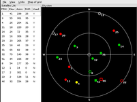
  • Simultaneous reception of GPS, GLONASS, Galileo, and BeiDou constellations means more satellites for your tracker to choose from, giving you great reception wherever the antenna is pointed.
  • 10 GPS solutions per second
  • Vertical and horizontal velocity
  • Reports positions up to 80 km (262,467) altitude and up to 500 meters/second (Mach 1.45)
Picture

Small Size and new Longer Battery Life

  • 1.67" x 0.8" board size, not including antenna
  • Tracker can run 16 hours on a small, 400 mAhr single LiPo cell.
  • ​Ground station enclosure can stay up all weekend

Featherweight UI App Tracking Features (iOS and Android compatible)

New tracking display puts all the flight data at your fingertips:

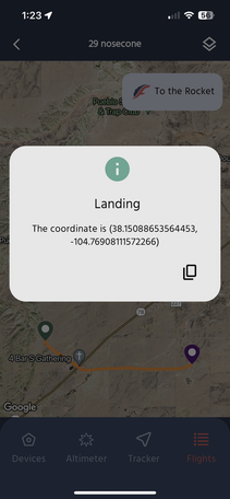
New map view lets you plan the best route for your recovery:

Picture

Picture

Picture

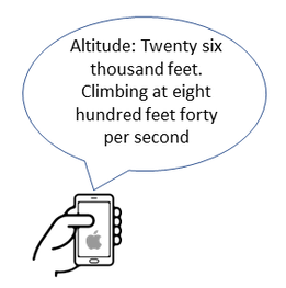
Spoken Telemetry

  • You phone tells you the flight information so you can keep your eyes on the sky
  • Select your preferred voice and speaking speed
Picture

Data Logging

  • Records GPS 3D velocity, location and signal strength at 10 samples per second for detailed post-flight analysis
  • Approved for use in Tripoli altitude record attempts
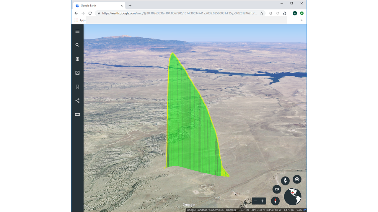
  • Google Earth .kml file is automatically generated
Picture

Multi-Stage Flights

  • Monitor two or more stages with one phone app and one ground station.
  • Easily switch channels to monitor each stage.
Picture

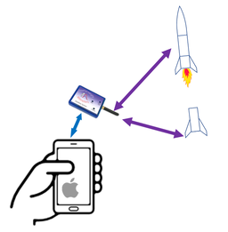
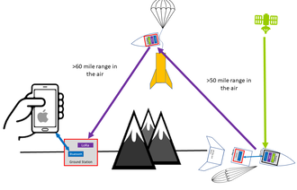
Over-the-Horizon Relay

  • Any Featherweight tracker with a line of sight will relay the location of a "lost "rocket
  • Other ground stations at the launch will relay your rocket's landed location back to you automatically (in work)
Picture

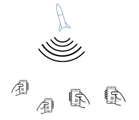
Public Telemetry (in work)

  • Follow along with your friends' flight data with the press of a button
  • LCO can monitor flight progress real-time


    Customer Reviews

    Be the first to write a review
    0%
    (0)
    0%
    (0)
    0%
    (0)
    0%
    (0)
    0%
    (0)